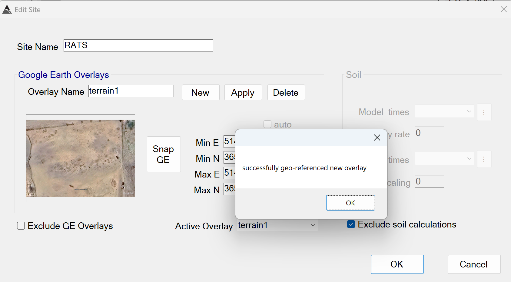
Creating a Site
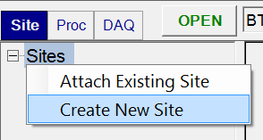
A Site is defined as a bounded area that contains multiple surveys. in the Site tab, a BTField project can attach to one or more sites using Attach Existing Site, or a new site can be created using Create New Site:
Enter the name of your site, then add a Google Earth (GE) Overlay if desired, by
clicking the New button as shown below. If you do not want to use
a GE overlay, check the Exclude GE Overlays checkbox at the bottom
left.
Registering a Google Earth Overlay
You can use the Snap GE button to automatically capture and register the currently displayed view in Google Earth Pro. The overlay can then be selected from the Active Overlay drop down list. Zoom in to the area of interest first in Google Earth Pro, then click the Snap GE button in BTField. Do not touch the keyboard or mouse until BTField has successfully geo-referenced the overlay as shown here: